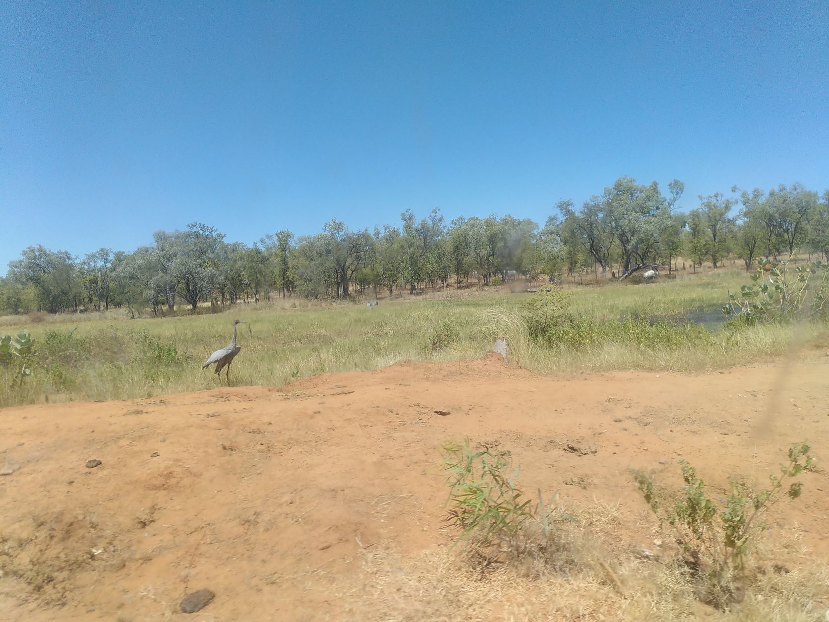
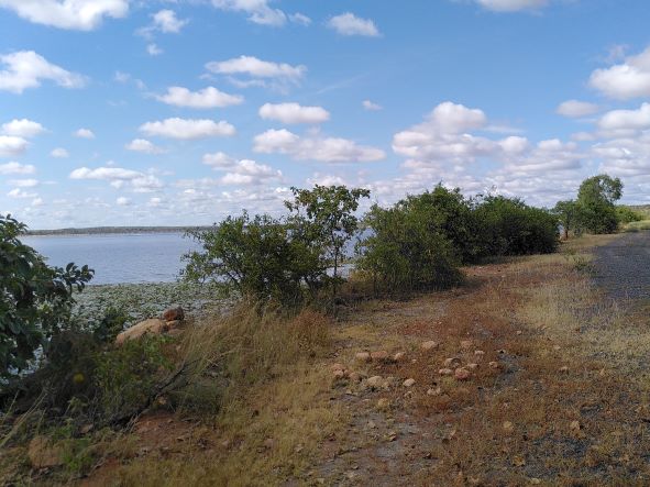
Water bodies in the Gilbert river region are of particular importance because they flood in the wet and water availability is limited in the dry season. Water bodies that are permanent or last longer into the dry season provide water for stock and wildlife, refuges for aquatic life, and storage of water for irrigated agriculture.
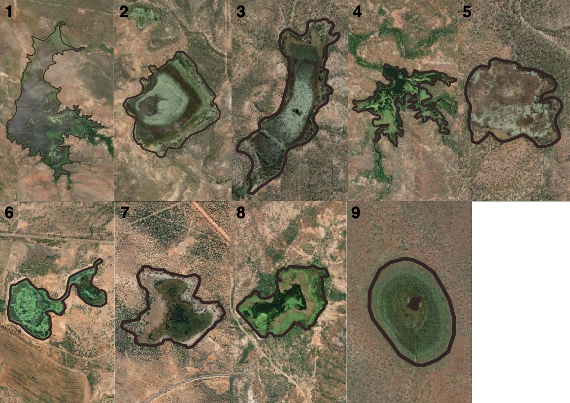
- Water body 1: The largest of the large water bodies, being an on farm dam. The dam wall is on the west side of the water body. Based on analysis2 the volume of this dam is approximately 7 GL. The dam is currently used for stock watering with water being shared with neighbours via releases into watercourses.
- Water body 2: Langlo Lake. Defined as perennial by the Hydrographic features - Queensland series data set, which suggests that water is present most of the time. The volume of the lake was estimated at 2.8 GL2.
- Water body 3: This water body is separated by a raised road. The top section is reservoir named Goose Lagoon. The bottom section is a non-perennial lake. The volume of both sections is estimated at a little over 1 GL2.
- Water body 4: This reservoir is an old mining dam with dam wall on the north-west side of the water body. The calculated volume (~ 1 GL2) is less than the volume as reported by the property owners (~ 2 GL).
- Water body 5: The deeper portion of this water body is defined as a non perennial lake while the shallower portion is shown as a swamp.
- Water body 6: This reservoir is used to irrigate the adjacent cleared land.
- Water body 7: Swamp
- Water body 8: On farm dam with dam wall on south-west side of the water body.
- Water body 9: Flat land subject to inundation.
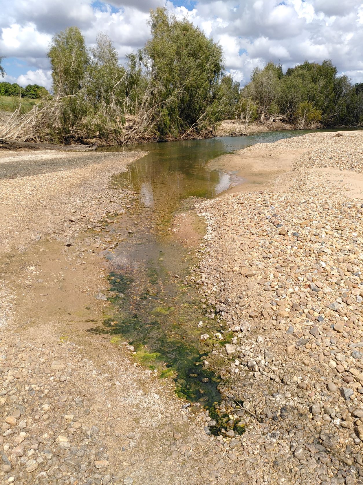
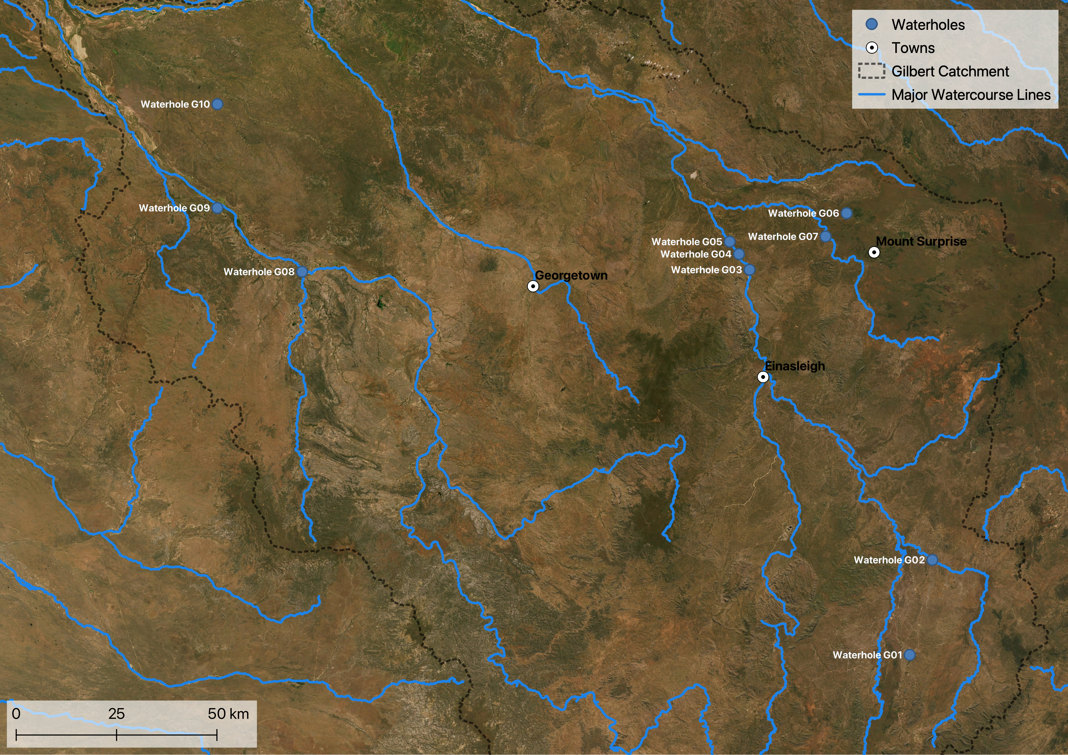
CSIRO’s FGARA project published a technical report on the waterhole ecology of both the Gilbert and Flinders. The study included baseline data collection in the field (e.g., water quality parameters), survey of aquatic biota and modelling of potential development impacts. Ten waterholes were investigated, three of which are in the GRAP region. All studied waterholes in the GRAP were characterised as permanent.
Seasonal flooding also refills lakes and wetlands. The maintenance of flows into wetlands, floodplains and other water bodies is a stated ecological outcome of the Water Plan (Gulf) 2007 to support habitat for native flora and fauna.
Smaller water bodies are typically implicitly included in catchment scale runoff modelling - they show up through their effect on timing of streamflow after rainfall. Larger water bodies can be explicitly modelled. Water budgets for the catchment of a water body can provide a first estimate of its water balance over time.
Data sources
- GRAP Surface Moisture Extents - Dry Season 2018, indicative data set mapped by Gulf Savannah NRM in 2022 (contact for information)
- Hydrographic features - Queensland series, accessed via Queensland Spatial Catalogue (QSpatial), includes data sets:
- Major watercourse lines
- Watercourse areas
- Waterholes
- Waterpoints
- Pondage
- Lakes
- Water storage points
- Wetland data, accessed via Queensland Spatial Catalogue (QSpatial), includes data sets:
- Wetland areas
- Wetland points
- Wetlands lines
On this website:
Footnotes
- Based on GRAP Surface Moisture Extents - Dry Season 2018, with 25ha providing at least 250ML capacity assuming a minimum 1m depth
- Based on GRAP Surface Moisture Extents - Dry Season 2018 (only water bodies exceeding 25ha) and DEM