eWater Source model
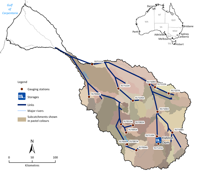
The eWater Source modelling platform was developed to be applied to government water planning and management needs. As the platform is meant to be used to inform water policy it has components that span from physical to regulatory and management. The model incorporates traditional catchment rainfall-runoff models. Groundwater is not explicitly modelled in Source, however, the interaction between surface water in the river and underlying aquifer is modelled.The river system is represented via links and nodes. Nodes are locations where water can enter, be stored, extracted, lost or measured. This means that in-stream dams are represented by nodes. Links connect nodes, transferring water between them.
Water planning statutory model
The Queensland Government uses the Source model to support water sharing plans and to assess the impact of changes to the system (e.g., constructing infrastructure, changing water sharing rules). It is used to determine water volumes when additional entitlements are announced, as well as any associated flow conditions to meet environmental flow objectives. The Department of Regional Development, Manufacturing and Water (RDMW) is the custodian of the Source model in Queensland.
The Source water model is the prescribed assessment computer program under the Water Plan (Gulf) 2007 for the Gilbert catchment. It was used to set flow conditions at Rockfields gauge and Burke Development Road gauge for the current Gulf unallocated water release and would primarily be used in assessment of a planned development or proposed change to the water plan. For projects outside of the current water release that would not comply with the pre-tested and prescribed flow conditions in the Water Plan (Gulf) 2007, proponents would need to engage a consultant as eWater Source is a specialist software product. This should not be the case for most landholder proponents applying for unallocated water under the current Gulf unallocated water release.
Resources
- QWMN Water Model Catalogue - A catalogue of water models used by the Queensland Government
- Lerat et al. (2013). Calibration of river models for the Flinders and Gilbert catchments
- DNRME 2018. Minister’s Performance Assessment Report, Water Plan (Gulf) 2007
- Welsh et al (2013). An integrated modelling framework for regulated river systems. Environmental Modelling & Software, 39, 81-102.